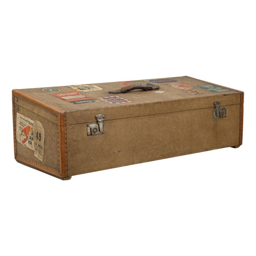
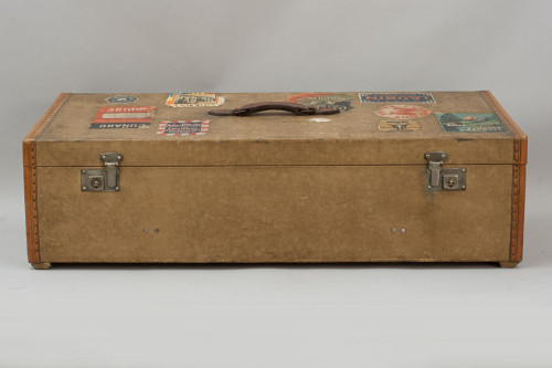
Set Of 37 Bartholomew's Road Maps In Leather Case


Set Of 37 Bartholomew's Road Maps In Leather Case
31633
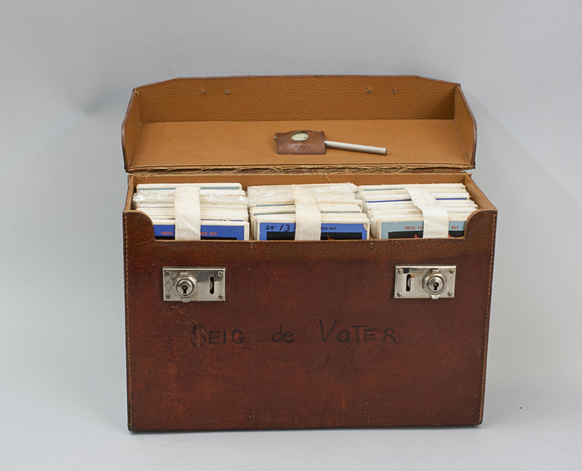
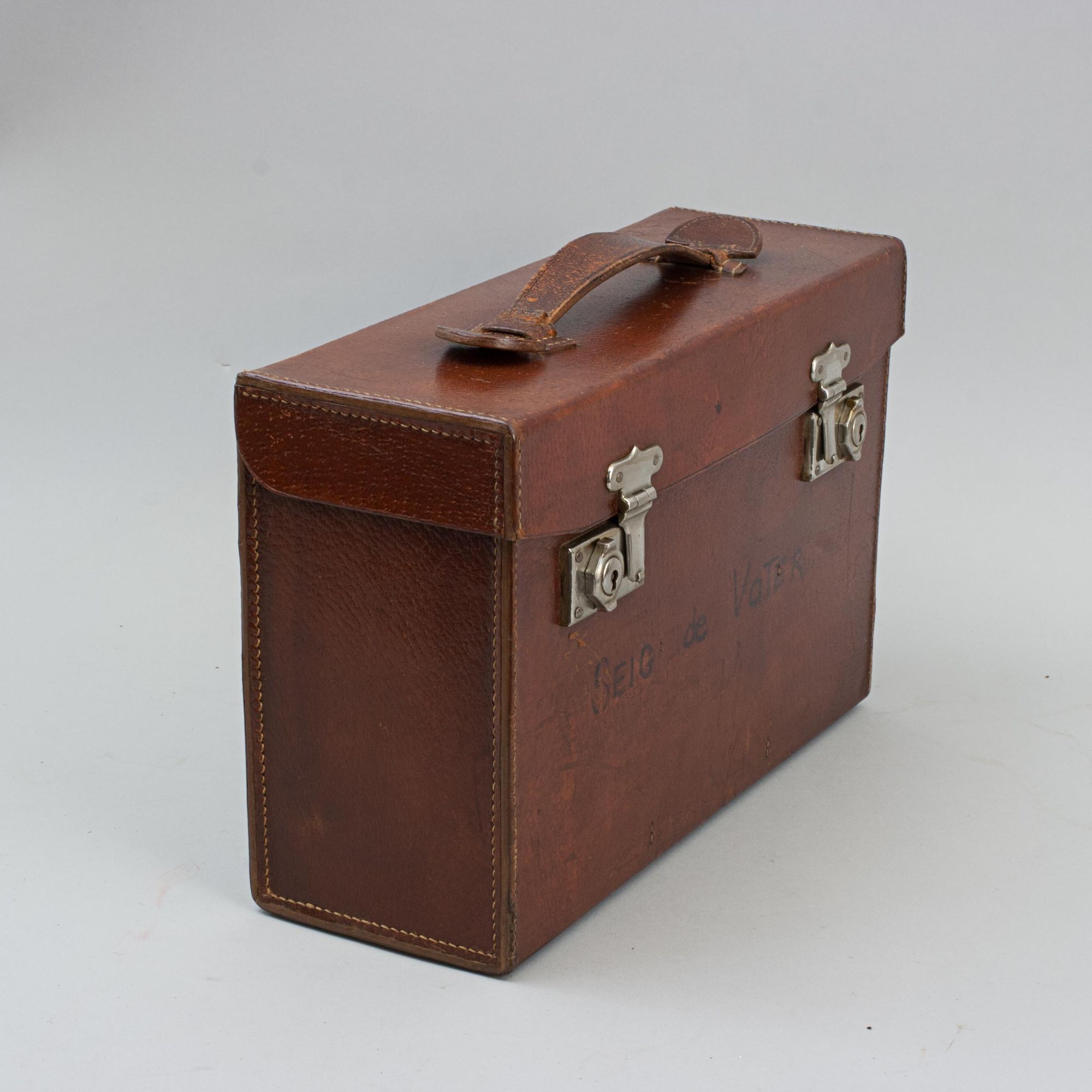
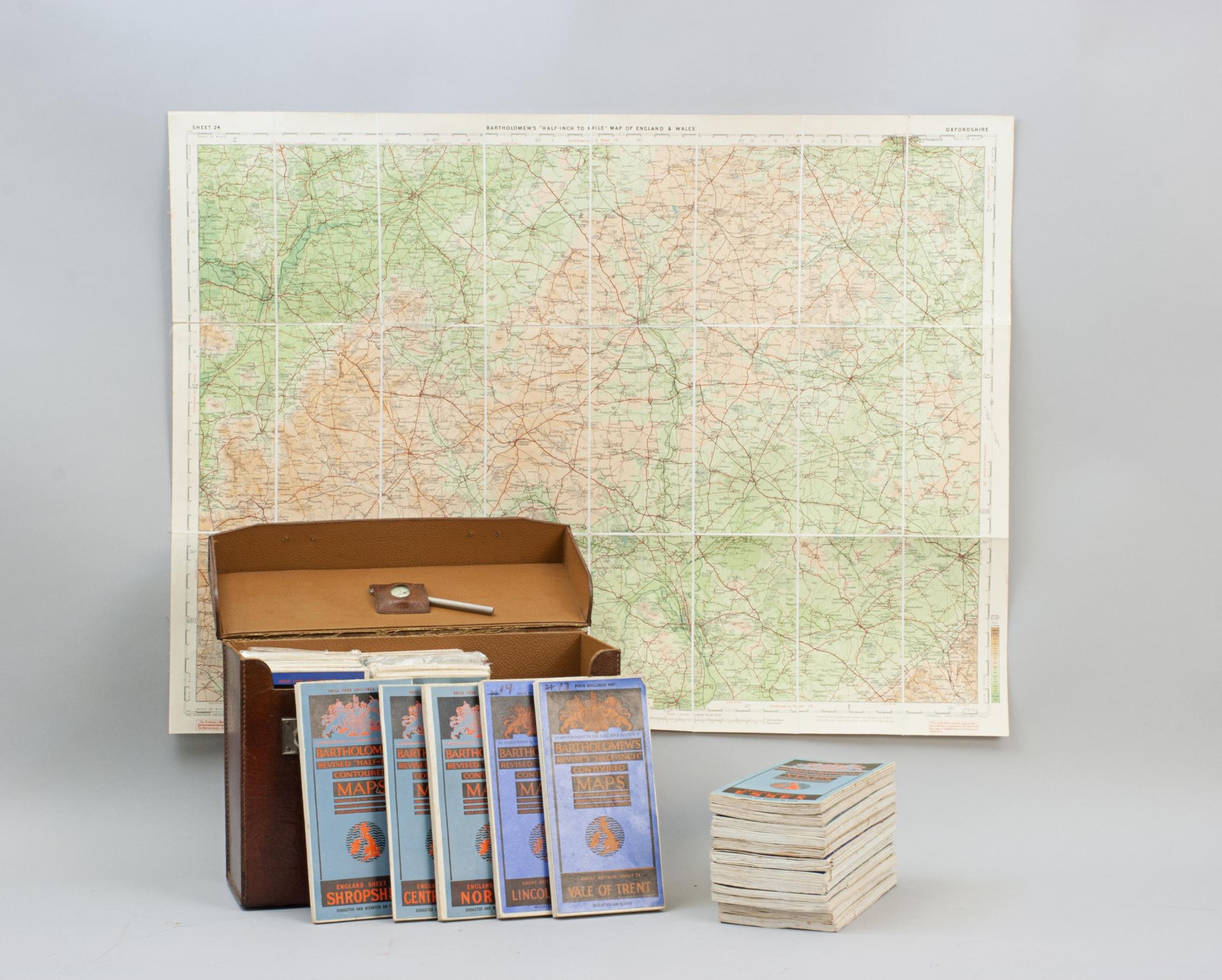
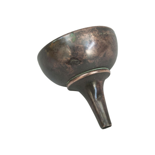
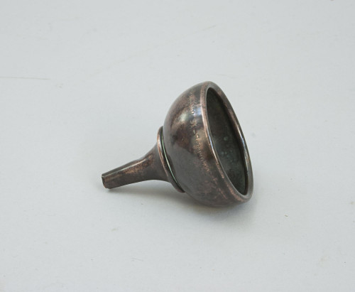
Vintage Set of Folding Bartholomew's Road Maps of Great Britain with Opisometer
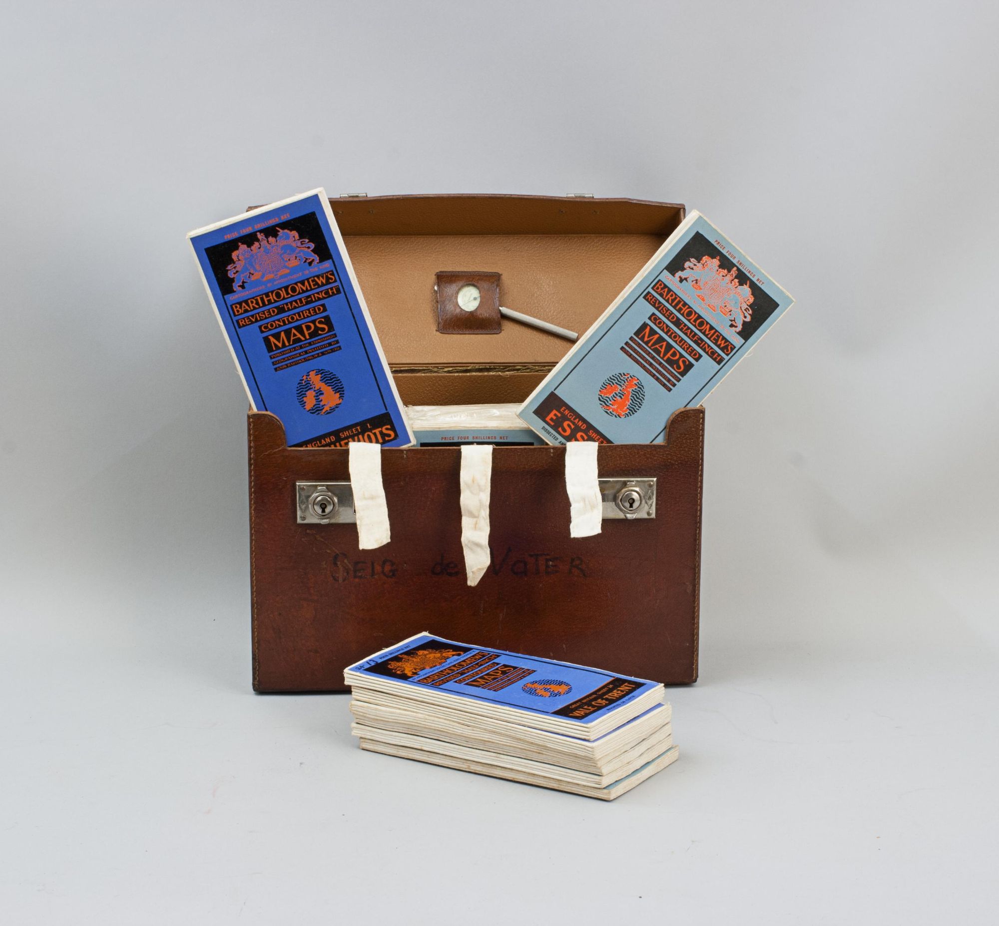
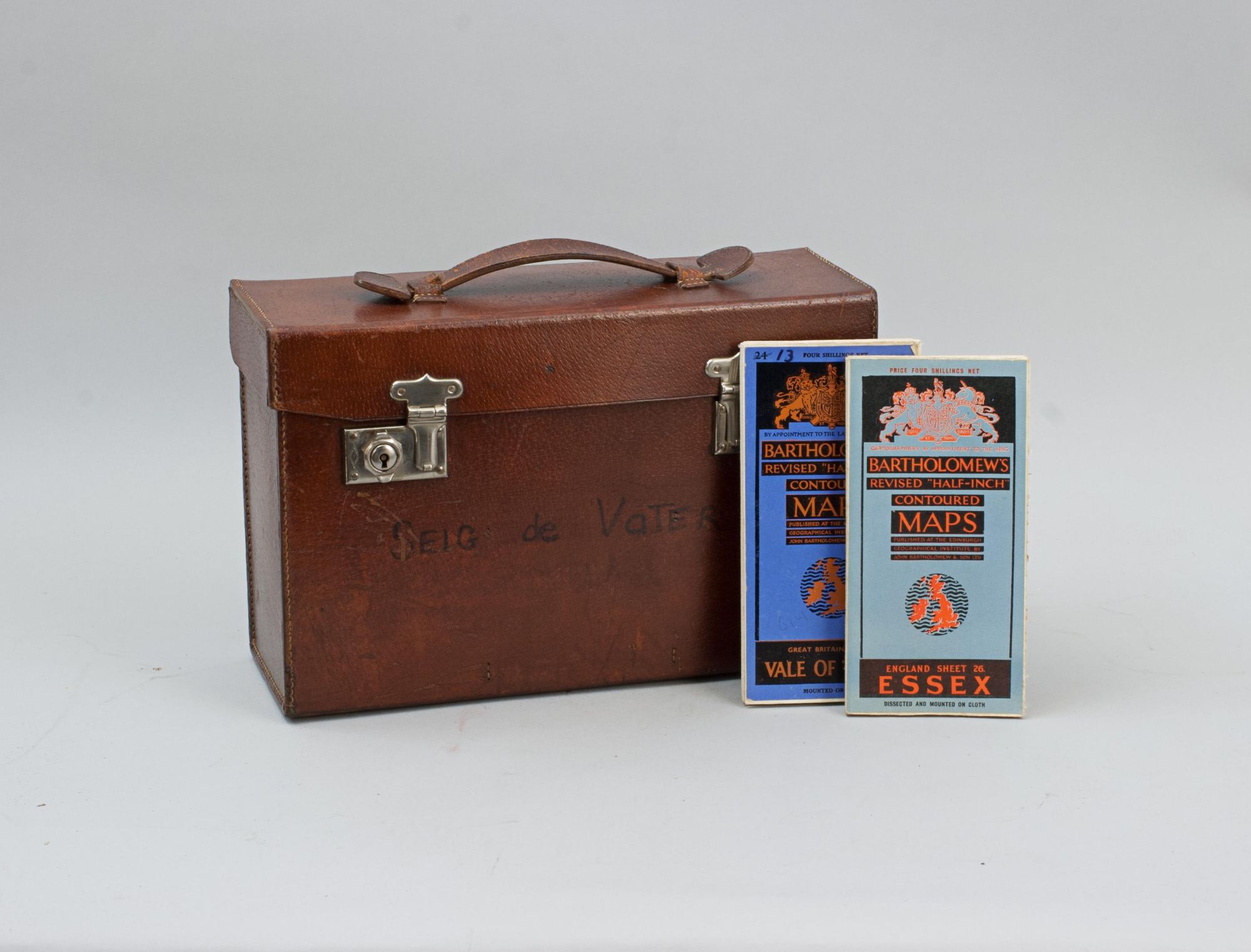
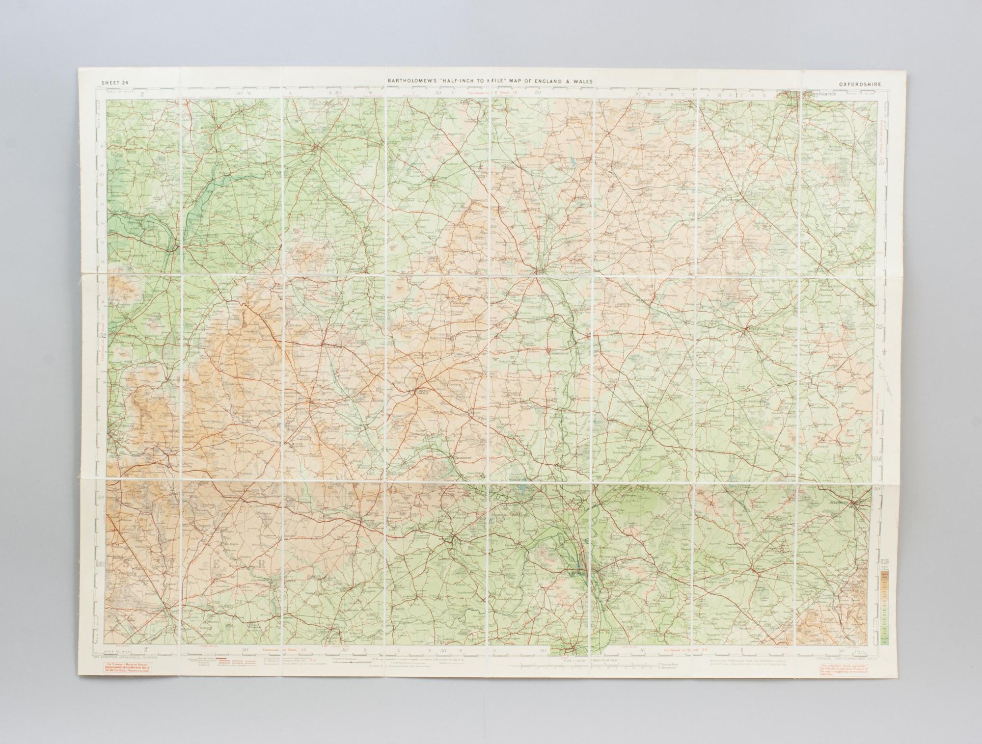
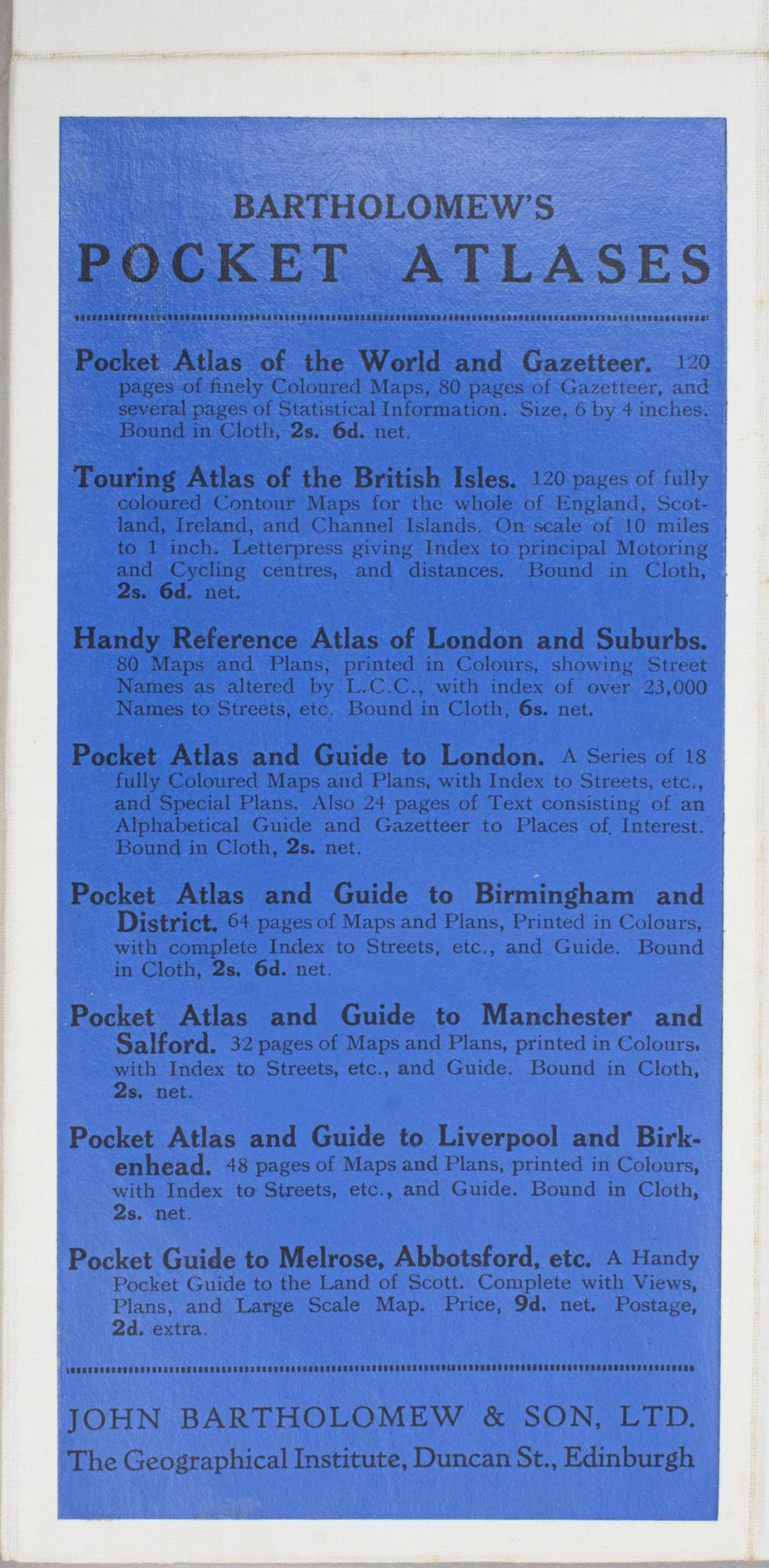
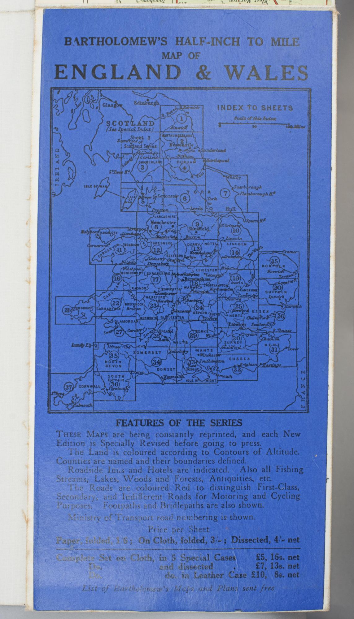
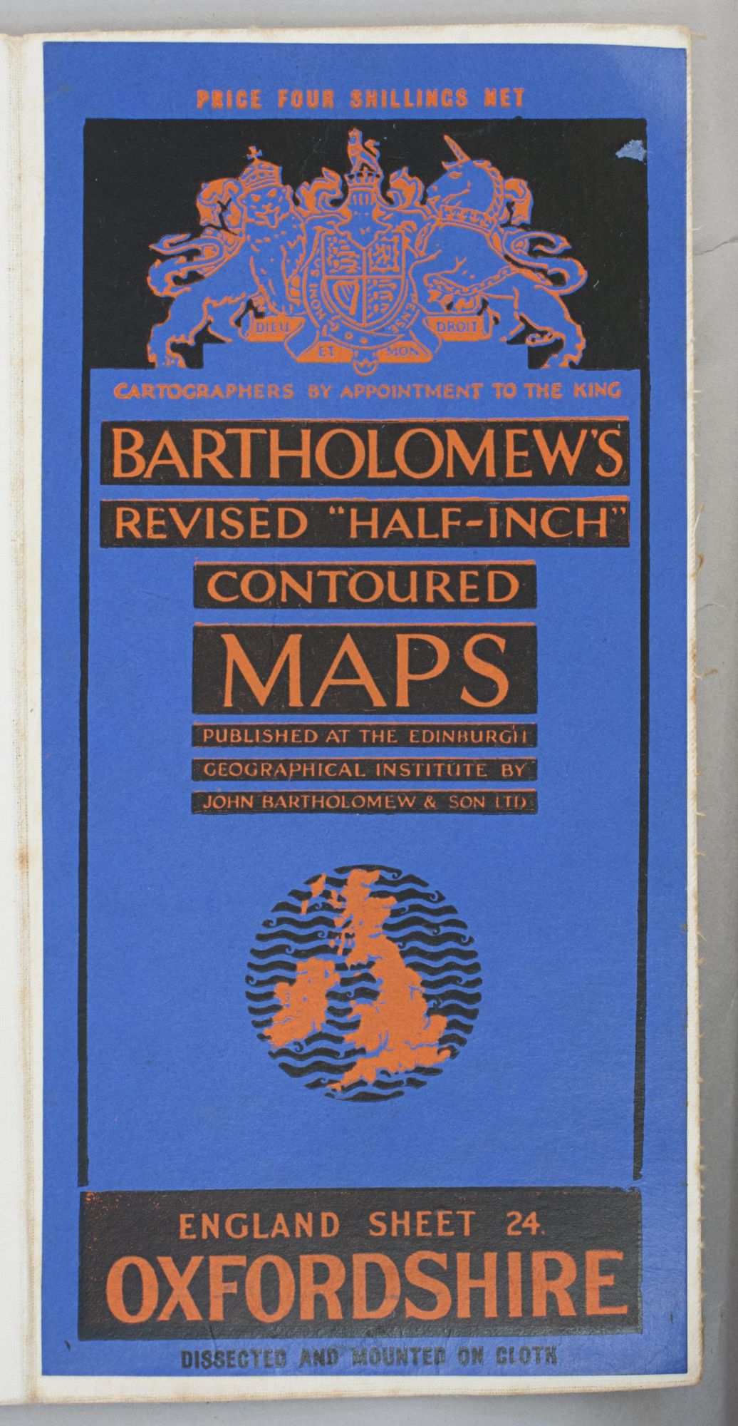
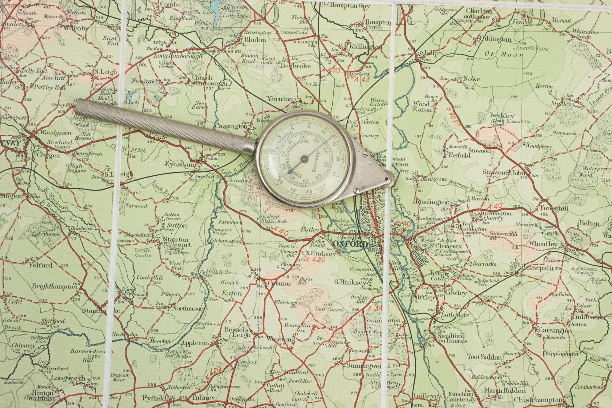
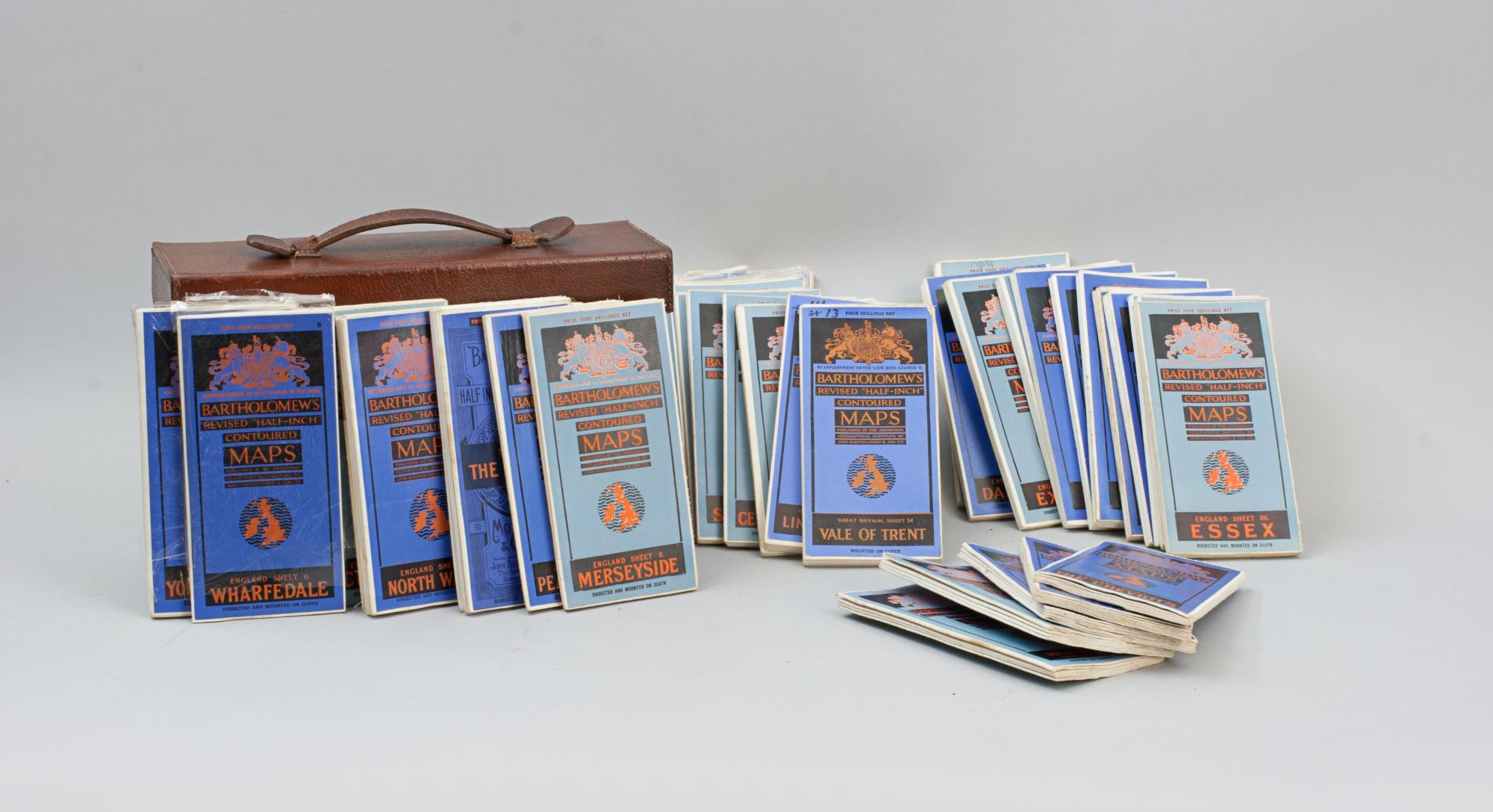
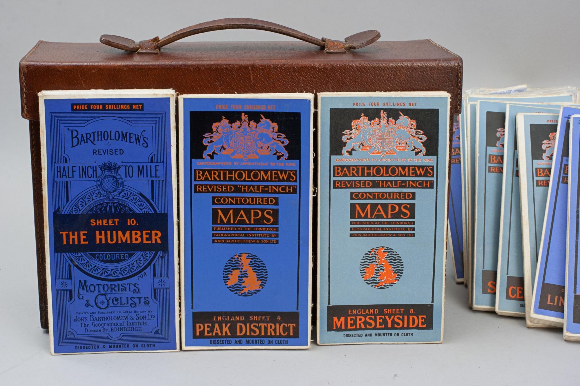
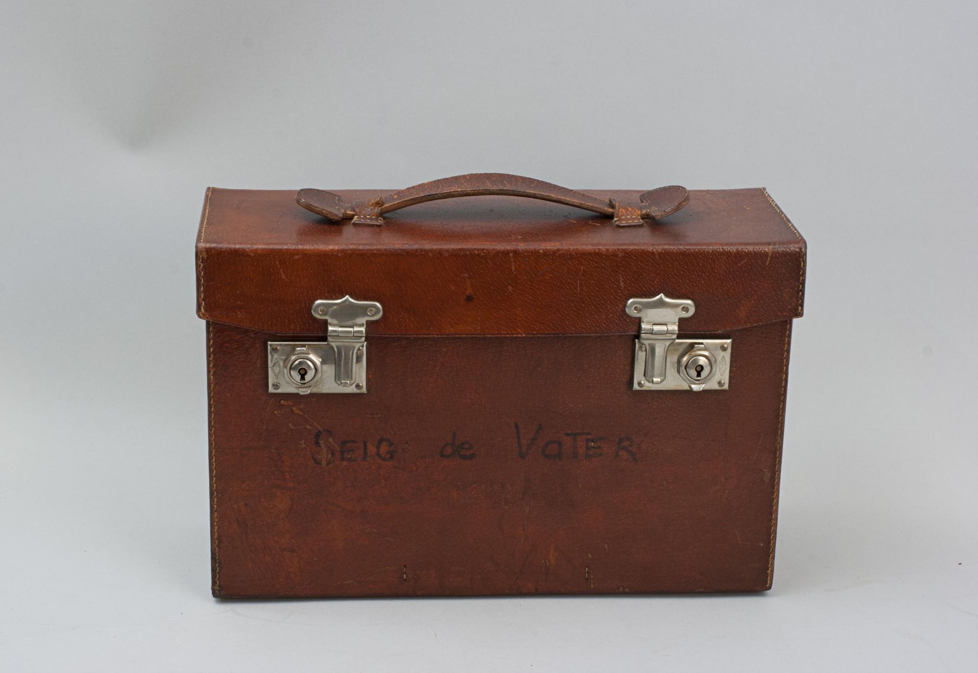
A vintage set of 37 Bartholomew's revised "Half-Inch" contoured road maps of Great Britain, housed in a hard leather travel case. Each map bears its own individual sheet number and corresponds to the full map of Great Britain printed on the reverse, which is divided into numbered sections to show how the sheets relate to one another. The maps were printed and published in Great Britain by John Bartholomew & Son Ltd., The Geographical Institute, Duncan Street, Edinburgh, reduced by permission from The Ordnance Survey, with special local revision to date of publication. The set is in good condition overall. Some maps have been replaced over the years due to regular use. The leather case remains in good order and features a central leather carry handle on the lid.
Each map measures 19½ cm high by 9½ cm wide when folded, 57½ cm by 84 cm when fully opened.
The maps are:-
1) The Cheviots
2) Tyneside
3) Cumberland
4) Teesdale
5) North Lancashire (and I. of Man)
6) Wharfedale (still in cellophane wrapping)
7) Yorkshire Coast (still with some cellophane wrapping)
8) Merseyside
9) Peak District
10) The Humber
11) North Wales
12) Cheshire
13) Vale Of Trent
14) Lincolnshire
15) Norfolk
16) Central Wales
17) Shropshire
18) Warwickshire
19) Cambridge Fens
20) Suffolf
21) Pembroke (still with some cellophane wrapping)
22) Carmarthen (still in cellophane wrapping)
23) Hereford
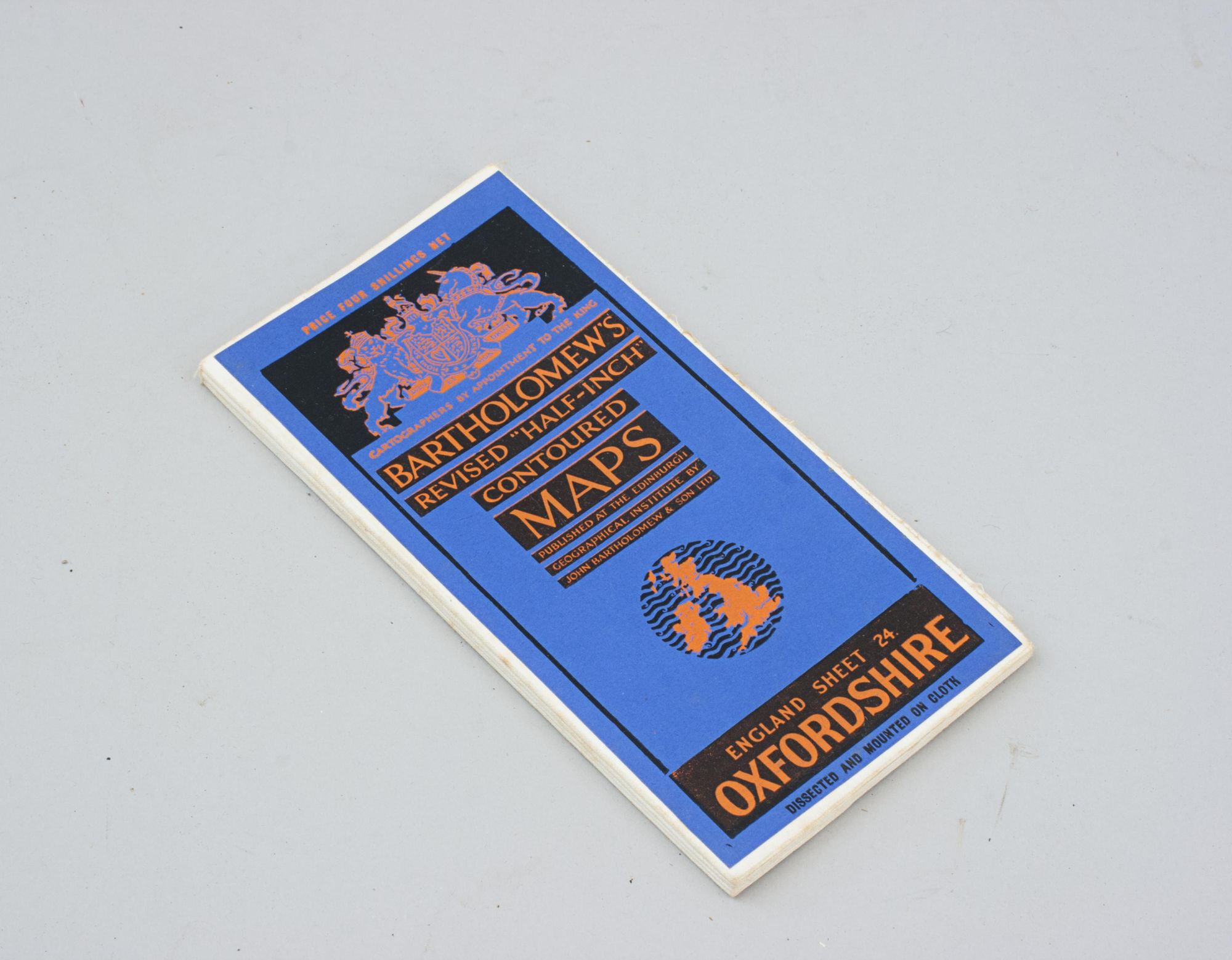
24) Oxfordshire
25) Hertfordshire
26) Essex
27) South Wales
28) Severn Estuary
29) Berkshire
30) Surrey
31) Kent
32) Sussex
33) New Forest (and I. of Wight)
34) Dorset
35) Exmoor
36) Dartmoor
37) Cornwall
Dimensions:
1900-1949
Circa 1930's
Paper & leather
United Kingdom
Good condition. Some replaced maps.
RELATED ITEMS


 The Cheviots2) Tyneside3) Cumberland4) Teesdale5) North Lancashire (and I. of Man)6) Wharfedale (still in cellophane wrapping)7) Yorkshire Coast (still with some cellophane wrapping)8) Merseyside9) Peak District10) The Humber11) North Wales12) Cheshire13) Vale Of Trent14) Lincolnshire15) Norfolk16) Central Wales17) Shropshire18) Warwickshire19) Cambridge Fens20) Suffolf21) Pembroke (still with some cellophane wrapping)22) Carmarthen (still in cellophane wrapping)23) Hereford24) Oxfordshire25) Hertfordshire26) Essex27) South Wales28) Severn Estuary29) Berkshire30) Surrey31) Kent32) Sussex33) New Forest (and I. of Wight)34) Dorset35) Exmoor36) Dartmoor37) Cornwall)