Maps of Britain For The Cyclist


Maps of Britain For The Cyclist
26916
Cyclist Pocket Maps.
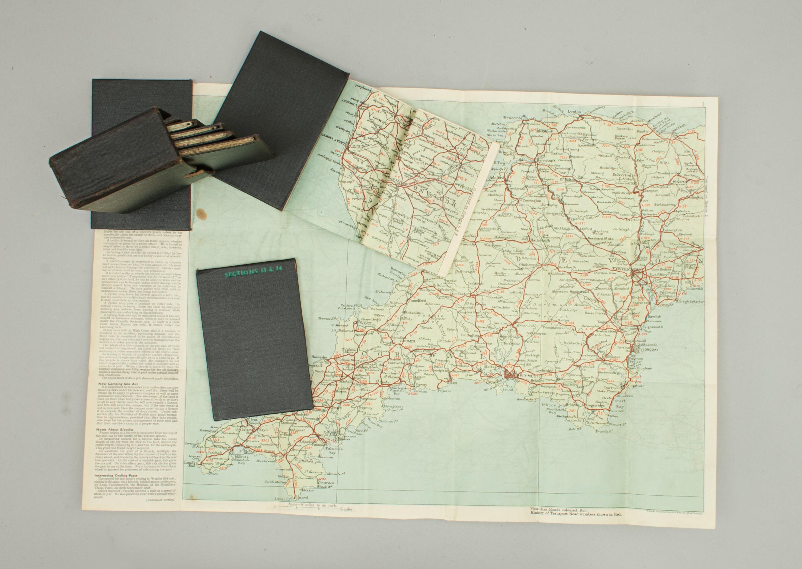
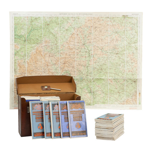
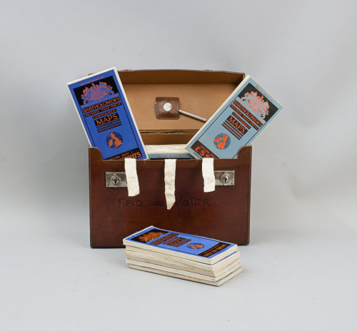
A set of seven folding maps, each with black cloth boards in a hard cloth covered slipcase. Together the 7 volumes cover Britain with the spine of the case with green lettering 'The Cyclist Pocket Touring Maps Of Britain'. There is a key to the front of the case showing a map of the whole country which is divided into the map numbers to show how they correspond to each other. The maps are double sided and when opened the map measures 17 ¼" wide by 12" high, map image 14 ¼ " X 11 ¼ , the map is on a scale of eight miles to the inch. Published by W. & A. K. Johnson Limited, Edinburgh & London. Each map has a section of 'Useful Information for Cyclists' by F. J. Camm, editor of 'The Cyclist and Bicycling News' and author of 'Ever Cyclist's Handbook and Cyclist's Road Club Annual'. The sections consist of National Bodies, Summary of Cycling Law, New Camping Site Act, Notes About Bicycles, Interesting Cycling Facts, Railway Rates for Bicycles and Tri-cycles and Cloak Room Charges. A great set of maps for the cycling enthusiast.
Dimensions:
Late 1930's
United Kingdom
The maps and case are in good condition. Section 1-2 there is one brown spot in ocean.
RELATED ITEMS


